Sign In
Close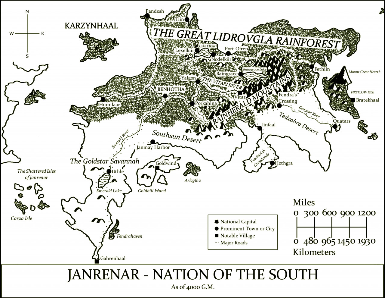

Here is a zoomed-in map of Janrenar, the southeastern continent of Fidonhaal.
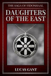
It is part of the setting for my debut novel "The Saga of Fidonhaal - Daughters of the East," which is now available in eBook and print-on-demand Paperback on Amazon!
*** https://www.amazon.com/Saga-Fidonhaal-Daughters-East-ebook/dp/B09RJQ24BD ***
If you are interested in looking into this book, you can read some preview chapters from my profile here on Weasyl, as well as check out other maps and relevant artwork!
https://www.weasyl.com/~wulfevanderkross
Fidonhaal is a world that is home to a race of creatures known as the Fidons, whose name in their tongue translates to "Faithful One(s)" or "One(s) of Faith." From our perspective, we would describe them as appearing to be anthropomorphic wolves or similar canine-like creatures.
This world has a deep history of good and evil, where both the light and darkness of mortals as well as the powers of the divine and unholy have struggled against one another for millennia.
Janrenar, the Nation of the South, is translated from the Fidon language as "(the) South Star Branch." Its climate is mostly either tropical or subtropical, and is home to the Great Lidrovgla RaInforest, the largest such forest in all of Fidonhaal.
A large island to the east, Fireflow Isle, is a volcanic island that is home to Mount Great Hearth, the largest volcano and fourth-largest mountain overall in the world. On the mainland, a mountain range named the Rainherald is the source of the great Vitari River. At one spot along this river, spanning the site from bank to bank as a great bridge, is the city of Benhotha, the capital of Janrenar at the time of "Daughters of the East."
Submission Information
- Views:
- 96
- Comments:
- 0
- Favorites:
- 0
- Rating:
- General
- Category:
- Visual / Digital