Sign In
Close


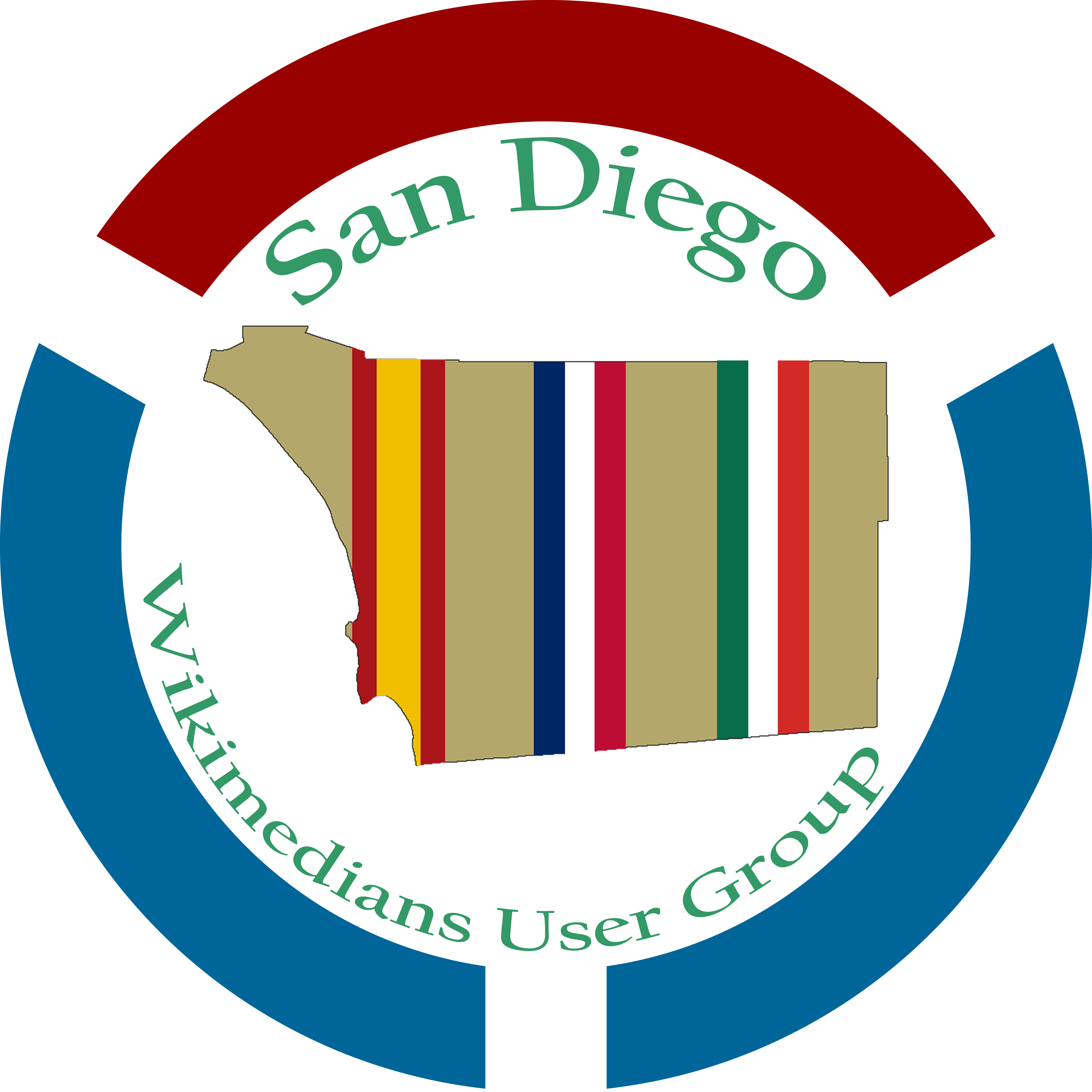
- Submission: Random Logo Art
- Comments: Worked on a logo for the Wikimedians User Group.
- Side notes: Uploaded that wikimedia logo, under https://creativecommons.org/licenses/by-sa/4.0/
The following elements used:
https://commons.wikimedia.org/wiki/File:WPSAN_San_Diego_County_Map_Version_1.png
https://commons.wikimedia.org/wiki/File:Wikimedia_Community_Logo.svg
The inside image is the outline of the county with a sand background envoking our region and its diverse environments from the beaches in the West to the deserts in the East, and the native people who were primarily nomadic living in those environments. The three bands off different colors represent the three nationstates that have had sovereignty over the land which is now our county. The left being spain, the right being Mexico, and the center being the United States. The pattern is similar to the style of U.S. Military campaign ribbons, which shows the military veteran connection to the region.
Medium(s):
Adobe PhotoshopTime length: Unavailable
Submission Information
- Views:
- 95
- Comments:
- 0
- Favorites:
- 0
- Rating:
- General
- Category:
- Visual / Design / Interface